ETH Zurich
ETH Zurich opens lab to monitor landslides and environmental change
A new ETH Zurich facility in canton Lucerne will use satellite, drone and ground-sensor data to monitor landslides, crops and other environmental changes. The Earth Observation Lab is intended to improve early-warning systems and disaster management.
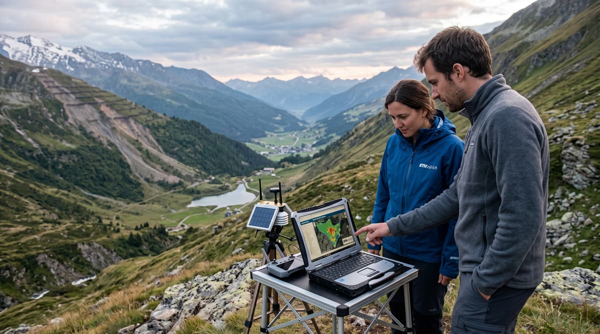
A new ETH Zurich facility opened in canton Lucerne on October 16, 2026, bringing several streams of environmental data into one research operation. The Earth Observation Lab will monitor landslides, crops and other changes across the landscape, using information gathered above and below the surface.
The lab arrives as Swiss authorities and communities continue to manage hazards shaped by steep terrain, intense rainfall and changing land conditions. The source material does not identify a specific disaster that prompted the opening. It does establish the facility's practical purpose: provide evidence that can help detect dangerous developments earlier and support more effective disaster management.
Researchers will work with satellite imagery, drone observations and sensors placed in the ground and in water. Together, those sources can show how terrain, vegetation and water systems evolve over time. The approach gives ETH Zurich a base for linking remote observations with measurements taken close to the ground.
The new centre of excellence also places canton Lucerne within Switzerland's expanding earth observation network. Its work will connect research capacity at ETH Zurich with environmental questions that affect municipalities, farmers and emergency planners.
Combine the Data
The laboratory will combine four kinds of observation: satellites, drones, ground sensors and sensors in water. That mix allows researchers to compare broad regional patterns with changes recorded at specific locations.
Satellite data can provide repeated views of wide areas, helping scientists identify shifts in terrain, vegetation and land use. Drones can examine smaller sites in greater detail. Sensors installed in soil, rock or water can record conditions that an image from above cannot capture directly. The source does not specify the precise instruments, geographic coverage or frequency of measurement, so the lab's initial research programme remains open.
This layered system matters for landslide monitoring. A visible change on a slope may need to be checked against local readings, including conditions in the ground or nearby water. Combining those observations can help researchers assess whether a change is isolated, developing or part of a wider pattern.
The same infrastructure can serve agricultural research. Crop data can reveal how fields respond to environmental conditions and help scientists follow changes across seasons. ETH Zurich has presented the lab as a platform for tackling environmental challenges through measurement and analysis.
Build Earlier Warnings
The lab's most immediate public value lies in earlier warning and better preparation. ETH President Joël Mesot said science cannot reverse events such as landslides, but it can help ensure that disasters are detected at an early stage and their consequences are better managed.
That distinction defines the role of the new facility. Researchers will not prevent a slope from moving through observation alone. They can, however, improve the information available to authorities assessing risk, closing roads, protecting infrastructure or organising an emergency response. The source does not state that the lab has already produced a warning system or that it will operate alerts directly.
Its contribution will depend on how quickly raw measurements become usable information. Satellite images, drone surveys and sensor readings must be collected, compared and interpreted. Researchers also need to understand local conditions, including the terrain and water systems that influence slope stability.
For Swiss communities in vulnerable areas, the value of the work will ultimately be measured through practical decisions. Better evidence can give local officials more time to assess a threat and coordinate with residents. The new lab creates a dedicated setting for developing that evidence.
Anchor the Centre in Lucerne
The Earth Observation Lab is backed by canton Lucerne and a foundation established by the late watch magnate Jörg G. Bucherer. Their co-funding gives the new institution a regional base while linking it to ETH Zurich's research capacity.
The choice of Lucerne places the facility close to a varied landscape of farmland, waterways, settlements and Alpine terrain. That setting offers researchers access to environmental conditions that can be studied through several observation methods. The source does not identify the lab's exact site, its budget or the projects already under way.
ETH Zurich expects the core team to comprise around 10 people by the end of 2027. The planned size suggests a focused operation during its initial phase. Its effectiveness will depend on the expertise brought together and on partnerships with public authorities, scientists and other organisations that use environmental data.
The funding arrangement also reflects the role of private philanthropy in Swiss science. Bucherer, who died before the facility opened, is associated with the foundation named in the source as a co-funder. Canton Lucerne's participation gives the project a direct connection to the region where the lab will operate.
Test the System on the Ground
By the end of 2027, ETH Zurich expects the lab's core team to number around 10 people. The next phase will show how that group turns a new monitoring platform into research that Swiss communities and environmental managers can use.
The lab's remit reaches beyond one hazard. Landslides are a clear priority because early information can support disaster management, while crop monitoring addresses the condition of land used for agriculture. Data from water sensors adds another dimension, allowing researchers to study environmental change in systems connected to both slopes and fields.
The opening does not come with published results, a detailed project list or a timetable for operational alerts. Those limits matter. The facility is beginning as a research institution, and its impact will depend on the quality of its measurements, the reliability of its analysis and the willingness of authorities to apply its findings.
For Switzerland, the project offers a domestic hub for observing a landscape that changes from valley floors to mountain slopes. ETH Zurich's scientists will have access to multiple forms of evidence, while canton Lucerne gains a centre focused on environmental conditions in the region. The first test will be whether that knowledge can move efficiently from sensors and images into decisions on the ground.